Curb knowledge is power. Stop second guessing it.
Macaron empowers cities around the world with the digital solutions they need to manage their parking spots and curbs.
Curb knowledge is power. Stop second guessing it.
Macaron empowers cities around the world with the digital solutions they need to manage their parking spots and curbs.
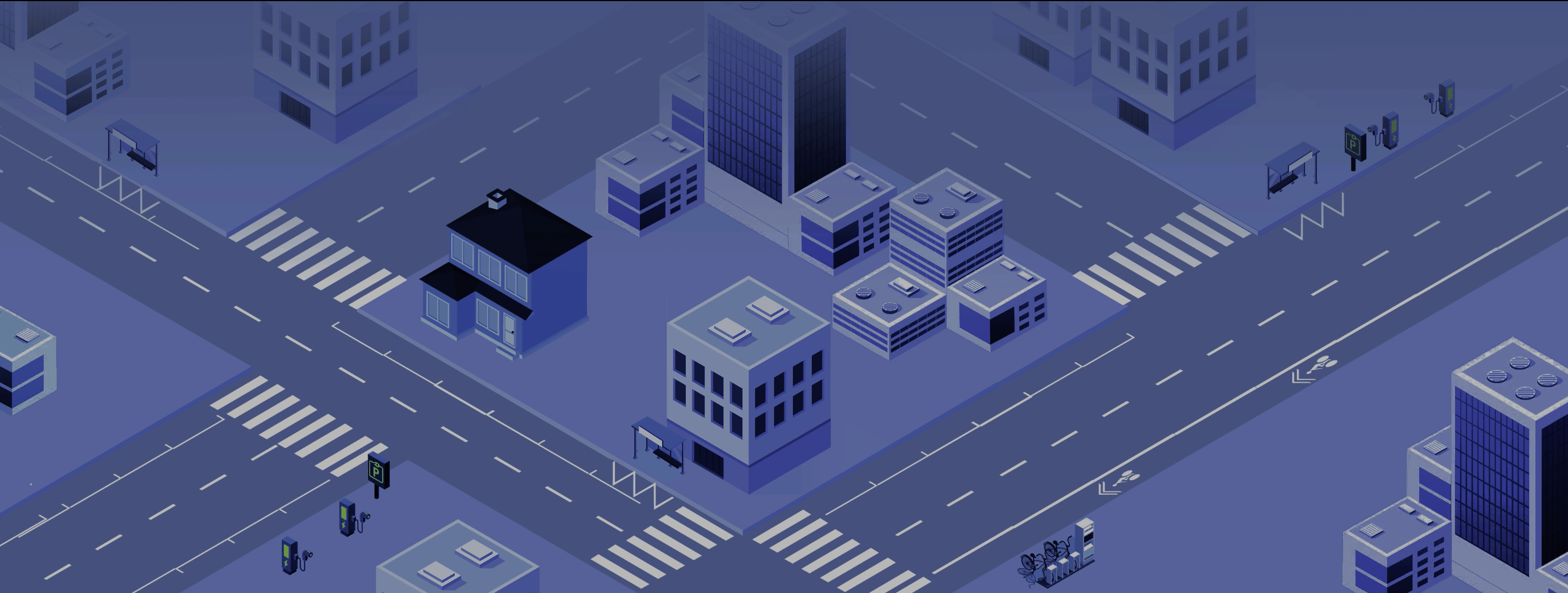
Code, manage and monetize the curb
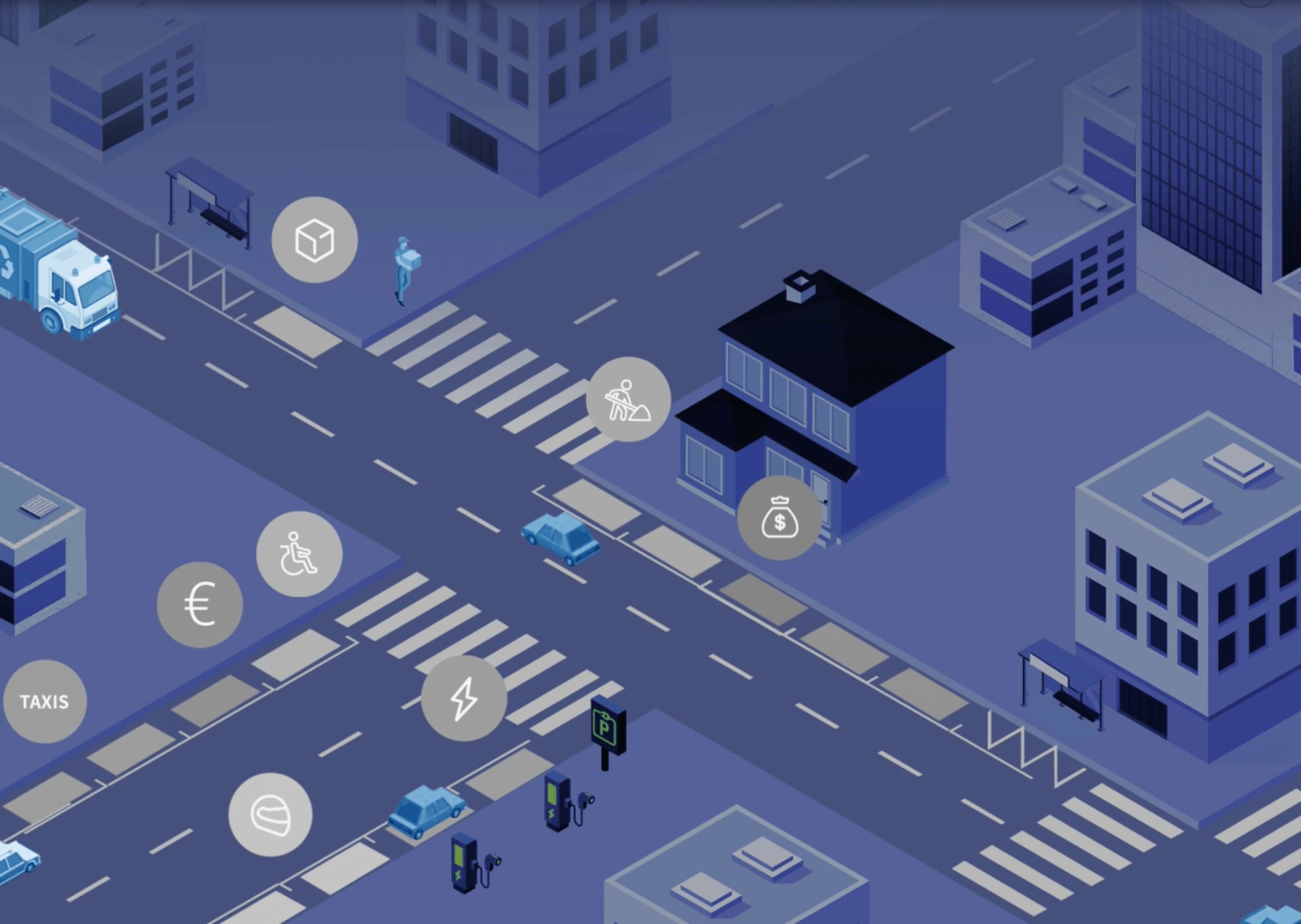
How many loading zones does your city have ? Is it enough in the context of e-commerce explosion ? Are they well situated to optimize deliveries and reduce congestion ? How many disabled parking spots do you have ? Most elected officials do not know the answers to these questions. The most important asset for the future or smart cities is the curb. And it’s a complete black box for most them. Macaron brings unique AI technologies to bridge that knowledge gap. From mapping data to updating it, we create unprecedented analytics to know, understand and govern the curb.


1 of 3


Watch Régis Castel, Courbevoie’s head of Smart City, explain Macaron’s impact
Pré-saint-gervais
1 of 3
Beauvais case study
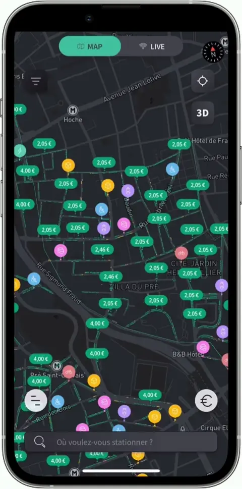
In Beauvais, parking just got smarter. Macaron has integrated cutting-edge sensors in key parking areas, providing real-time data on parking availability. No more guessing or circling around in search of a spot. Drivers can now see, in real time, which spaces are available before even arriving at the parking lot. This is all made possible through our advanced sensor technology, which is seamlessly connected to the Macaron app With Macaron, Beauvais drivers now have access to the most up-to-date information, making their parking experience smoother, quicker, and frustration-free A revolution in mobility is here.
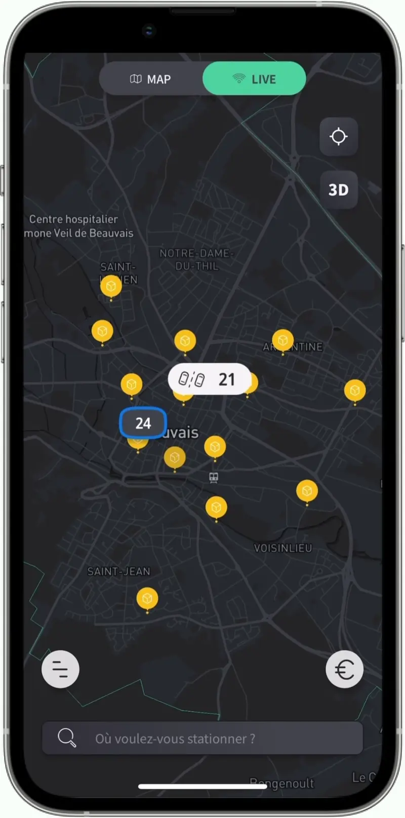
Map integration of the city of Beauvais
Strategic partners & client testimonials


1 of 5